


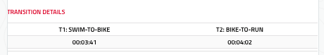
Race Report
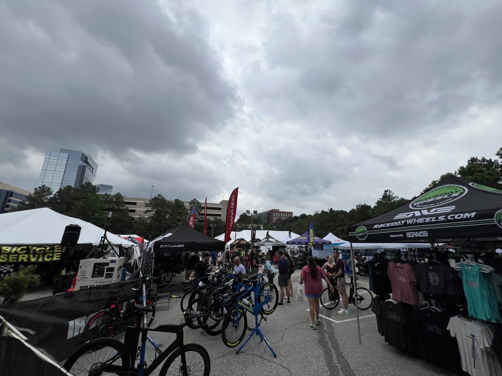
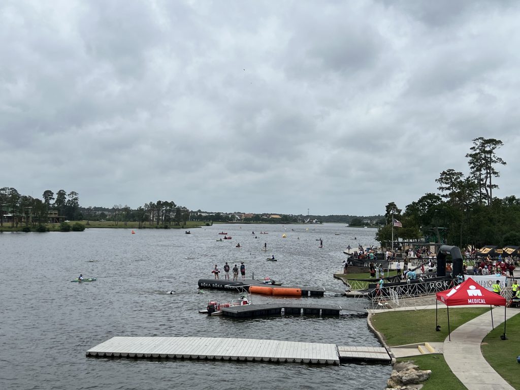
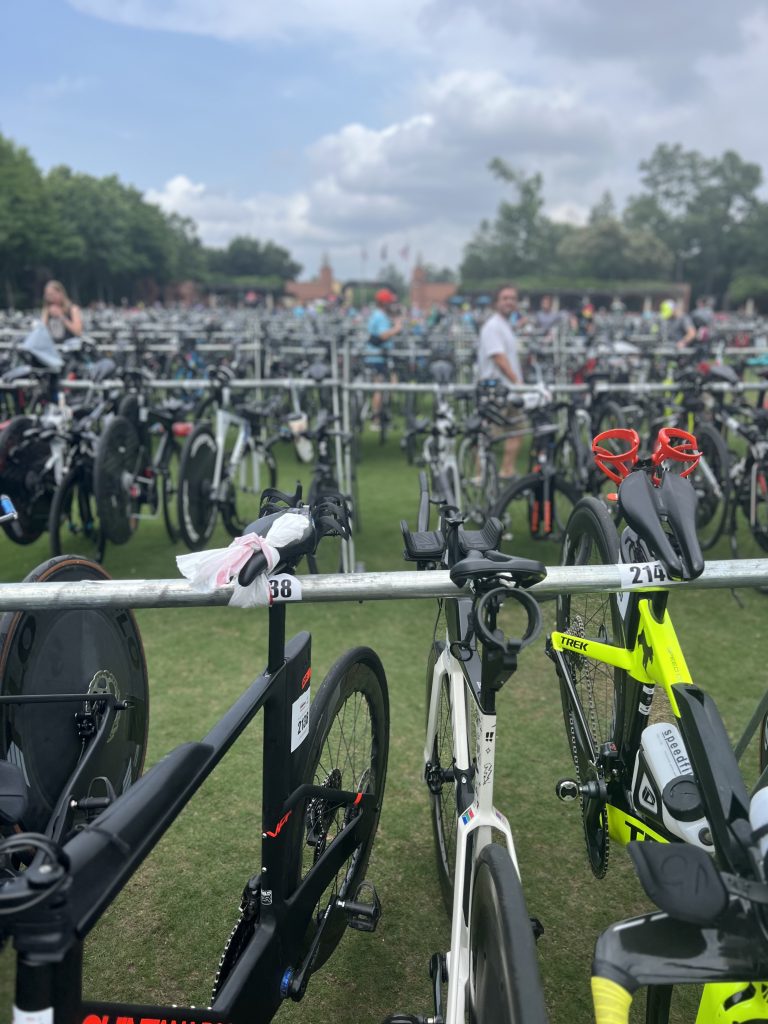
Trip wise everything went super smoothly. Arrived Wednesday, no delays or issues with baggage or car rental etc. Thursday, fun little cruise around the Airbnb in Spring and did packet pickup, and had a nice evening with the Fillnow folks. Prepped some of my bags and had a good amount of sleep. Friday got up and went to the practice swim, did a really easy few hundred yards (15 mins) and felt OK. I picked out some landmarks to sight off. I used my wetsuit and felt very normal. Had some breakfast, got to meet Natasha from NVDM as mentioned, and took it easy. Had some pasta for lunch and in the afternoon did bike drop off, and took it easy for the rest of the day. Ensured I was getting in plenty of hydration (LMNT + water) and carbs. Friday evening got to bed really early (9pm) since I knew I was going to be up at 4am, ended up waking up at 2:30 and felt ok. Found parking pretty easy, got into T1, loaded nutrition/hydration. I had a minor issues getting air into my rear disc, but got it sorted out pretty easily. Walked over to Swim start, got into my wetsuit, and started just behind the main pack. Also no real delays, issues or surprises 🙂


You must be logged in to post a comment.