A list of books I have read. (Currently in a draft state)
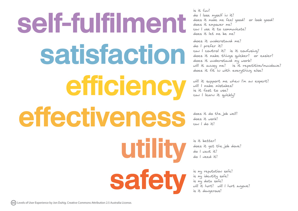
Questions …
Considering a startup? Try use these questions in context to see if it helps you decide:
RetroPi
This was a fun project to get some old school retro apps installed and running on RetroPi, it was pretty easy to setup and within no time I was playing Super Mario with my kids on a controller.
This is the basic overview of how I got it setup and started:
- Download Balena Etcher
- Download RetroPi
- Install onto Micro SD Card using Balena Etcher
- Add Keyboard/SD/Power/HDMI
- Enable SSH
- Use Filezilla to copy games to folders
Native App Experiences Team
The Odebrecht Group: Ethical Insight
Here is a paper I wrote (with 3 colleagues) on the graft and fraud within The Odebrecht Group.
December 11, 2018
Executive Summary
The Odebrecht Group, established in 1944, was once a flourishing family run business that grew into a $40 billion conglomerate. The company operates within the construction and engineering industry through the development of infrastructure and energy projects. During a money laundering investigation in 2015, The Odebrecht Group was found to be a key company at the center of one of the largest bribery and corruption scandals in the world. The company admitted to using deceitful tactics to gain business around the globe. These tactics proved not only to be contradictory to the company’s guiding principles, but also against the law in many countries. Since this unethical behavior came to light, the company has faced many financial and reputational repercussions. However, The Odebrecht Group is currently making strides to better its compliance programs and leadership. To further these efforts, the company should establish practices to improve the company’s overall ethical culture, enhance ethical leadership commitment and build upon compliance monitoring structures.
Building a Color Palette
An often overlooked but extremely important aspect of branding, marketing, advertising and general business presence is having a well designed and professional color palette. This is an excellent read into the topic and might be helpful in bringing your company to the next level.
https://www.refactoringui.com/previews/building-your-color-palette
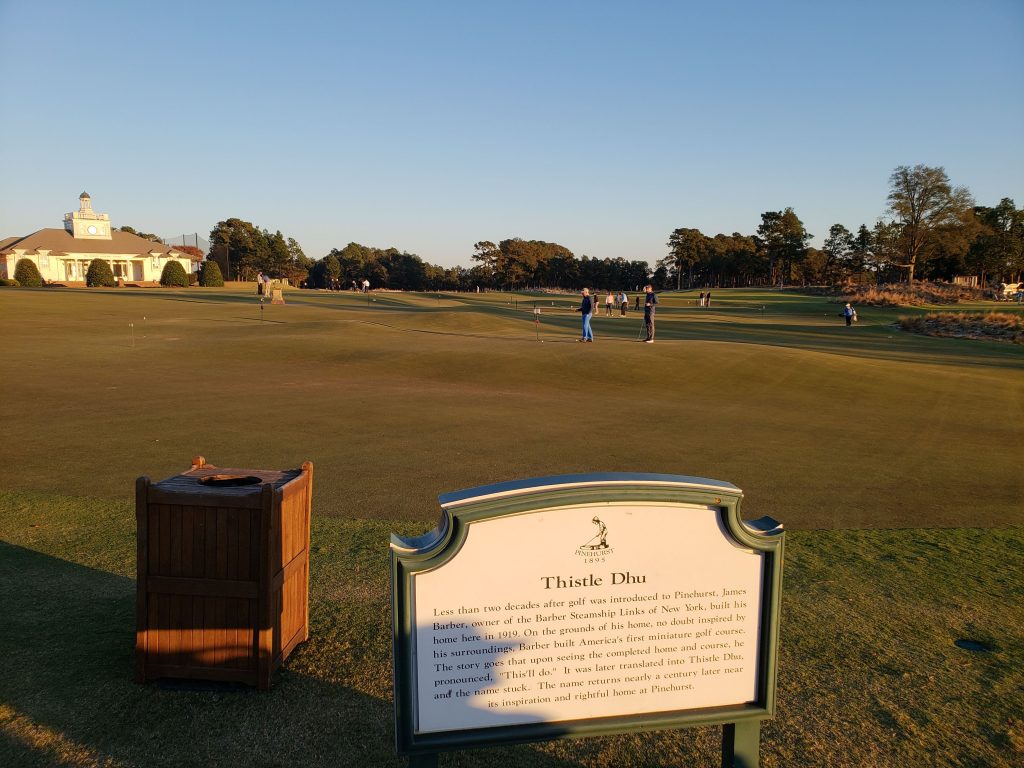
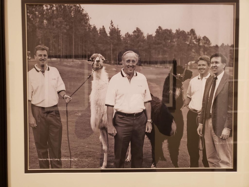
Travel: Pinehurst, NC


Joscha Bach: We need to understand the nature of AI to understand who we are
A great thought provoking chat on #humanity #AI #futurism from @Plinz + @singularityblog Check it out here:

Joscha Bach: We need to understand the nature of AI to understand who we are
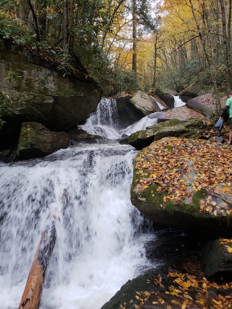
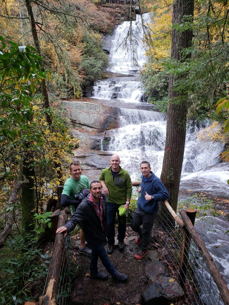
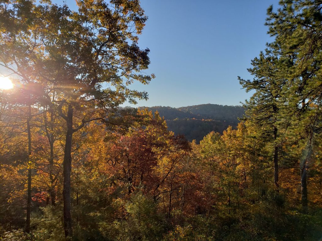
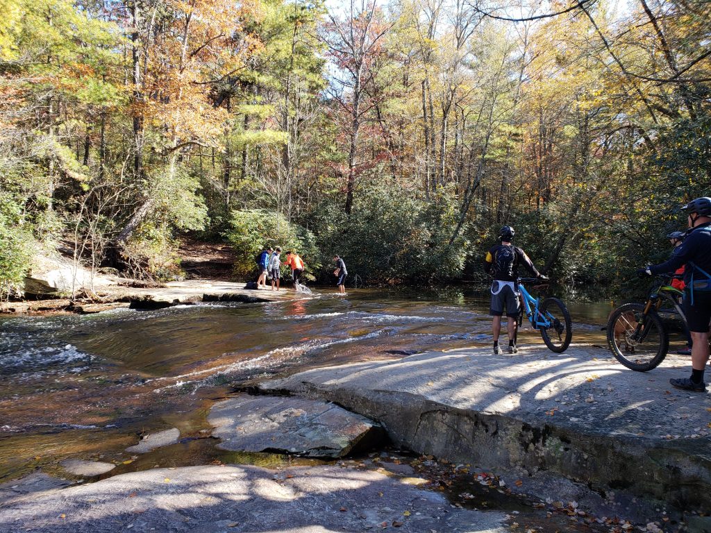
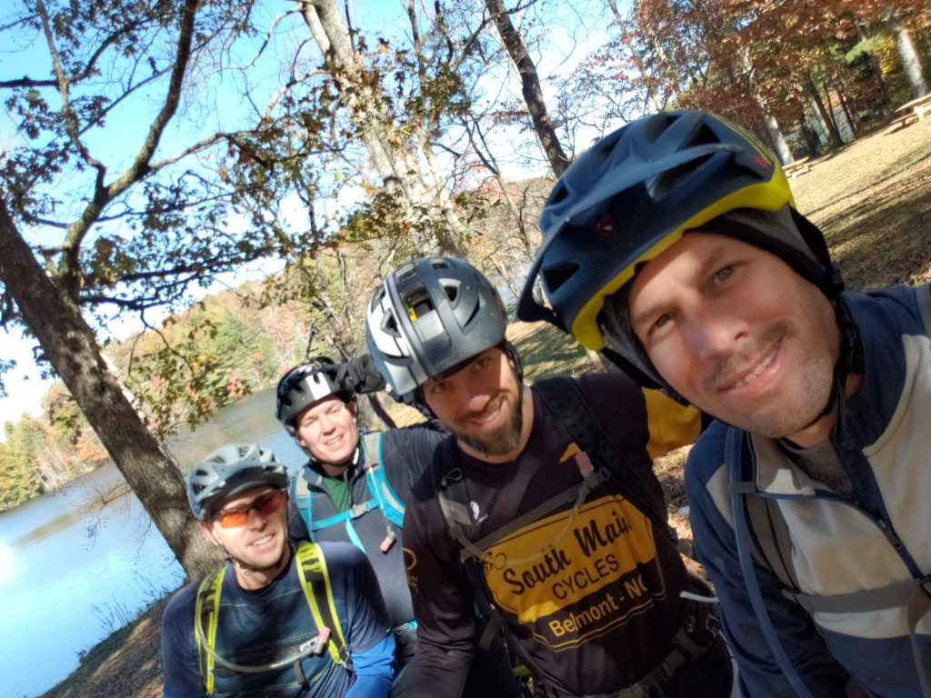
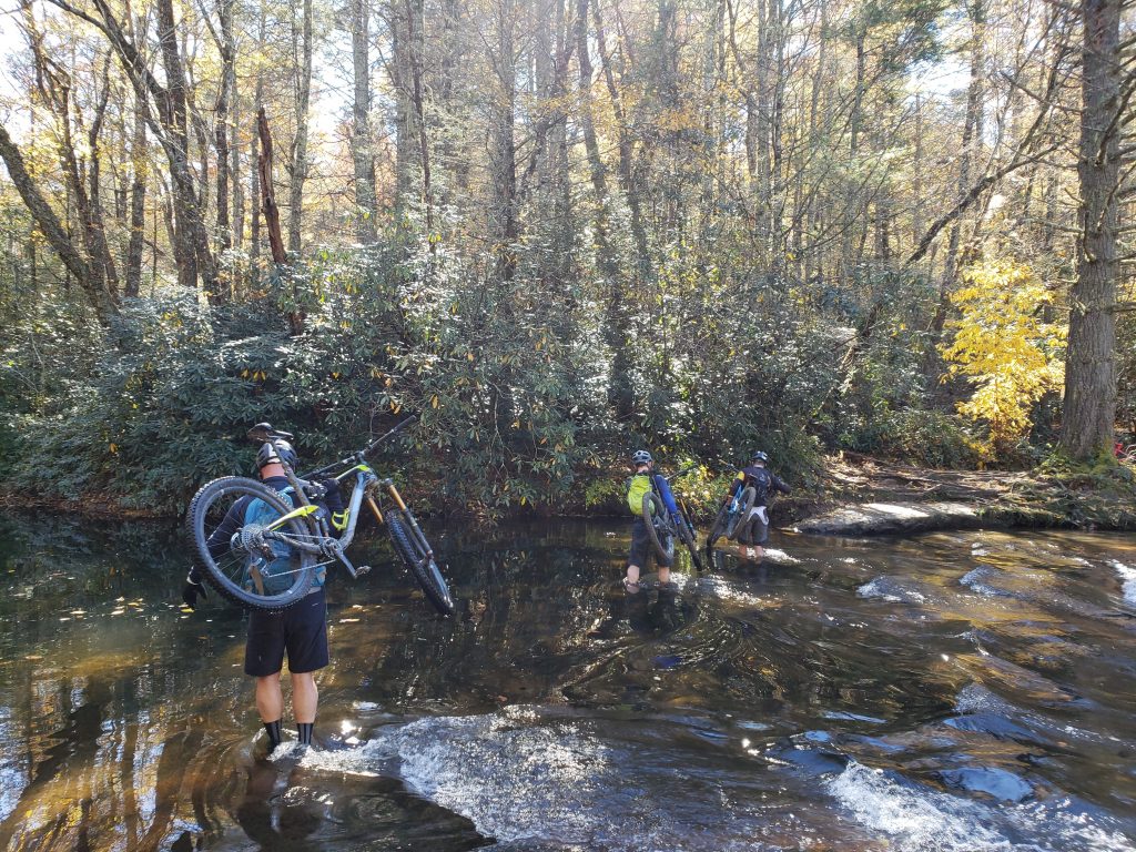
Travel: Pisgah, Brevard and Du Pont, NC


Travel: Saluda, NC


You must be logged in to post a comment.