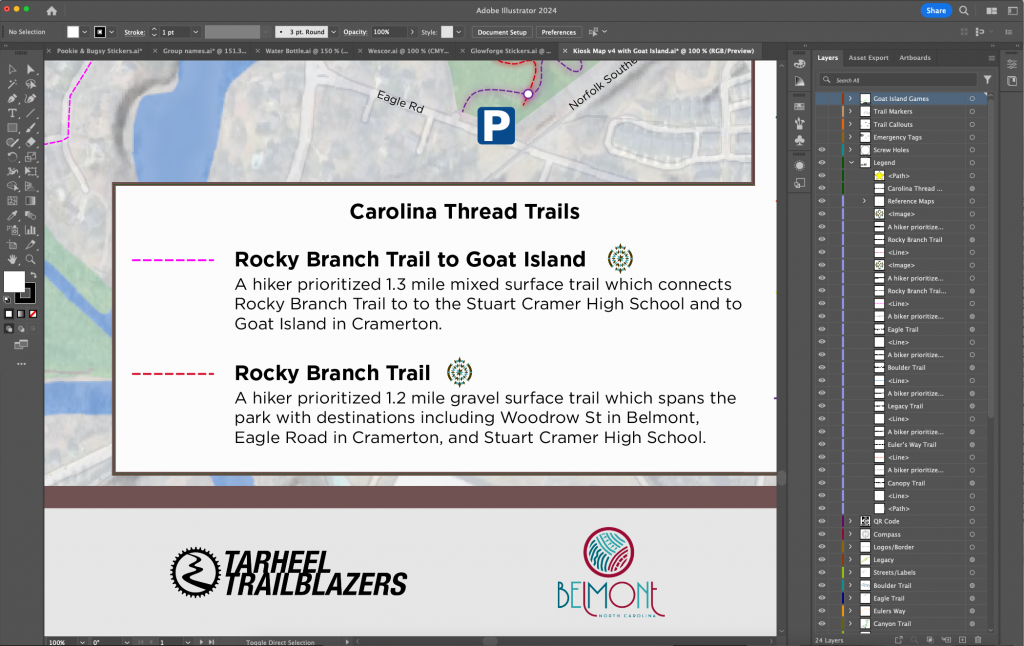
Design: Adobe Illustrator, GIS for Maps
Printing: Gaston Printing and Signs
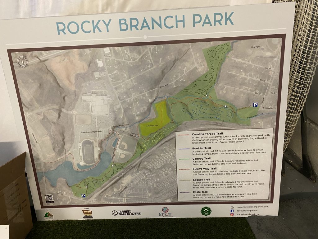
Mockups and Design
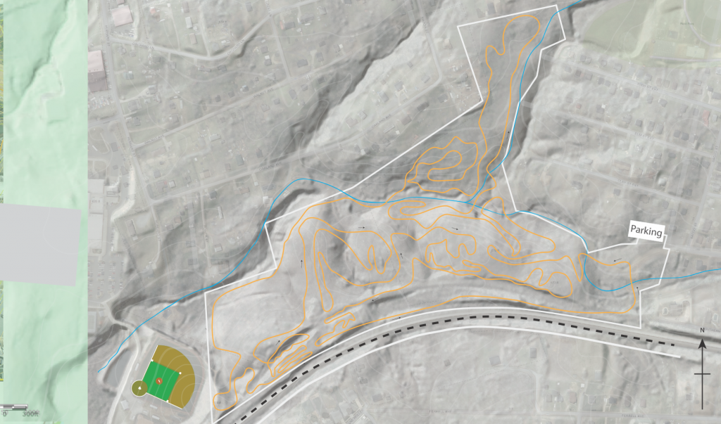
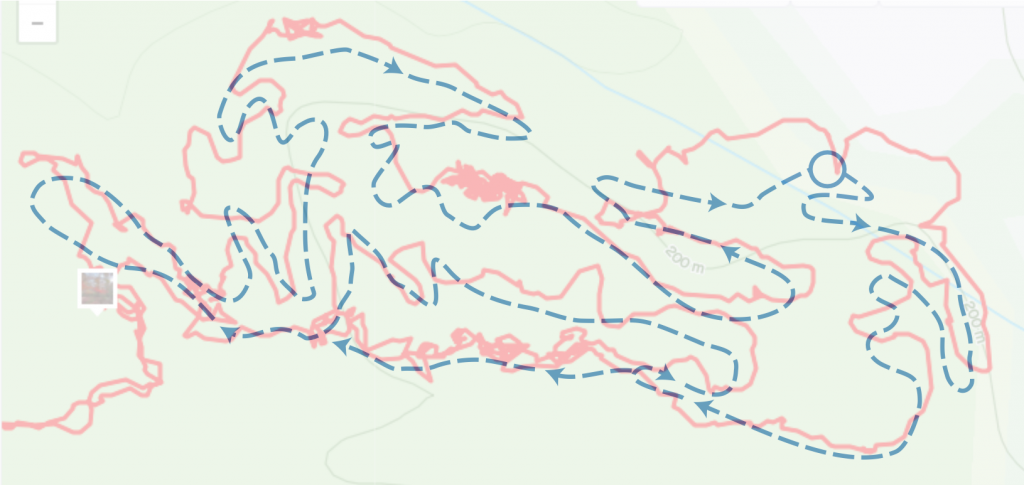
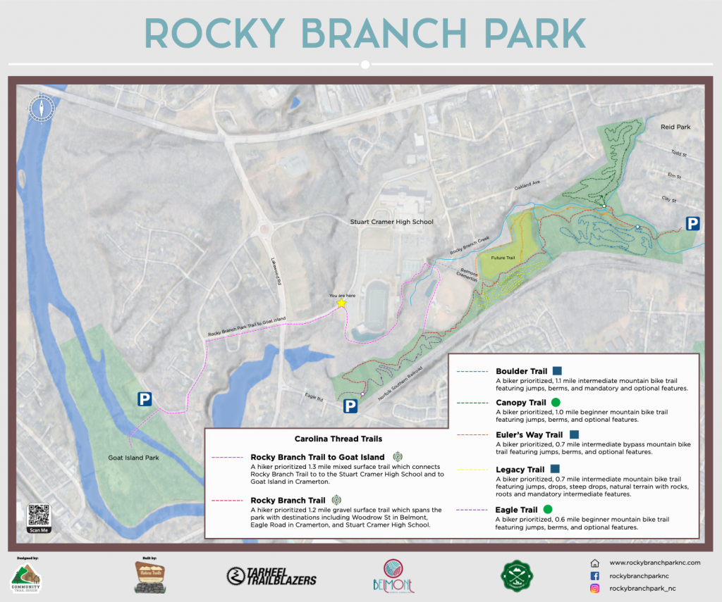
Craig Brickser from CTD Trail Design provided the base GIS layer gave the map some depth. I then used reference points, old GPS data from previous rides and exploratory rides to overlay this onto the maps, to create the trail lines. There is a fine line with regards to how much, or how little detail to show on public facing maps, so there was some trial and error. Included are some early versions, and mockups of the existing trails.
This main map was (and is still) used to create the individual loop maps at the hub of each trail.
Final Version
Lesson: Maps are not static … shortcuts, additions, changes, removals and closures make them a on-going maintenance component 🙂
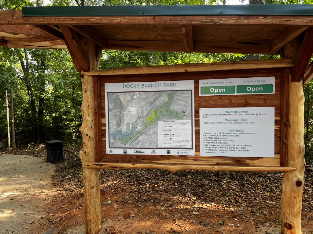
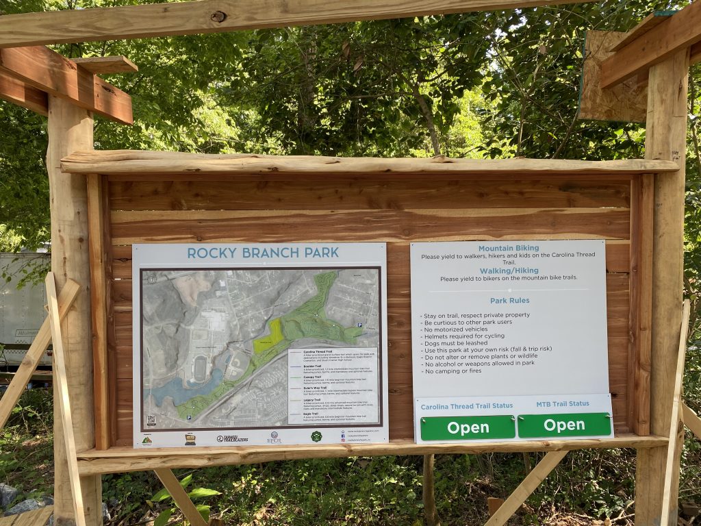
Printed/Installed Version

Variations
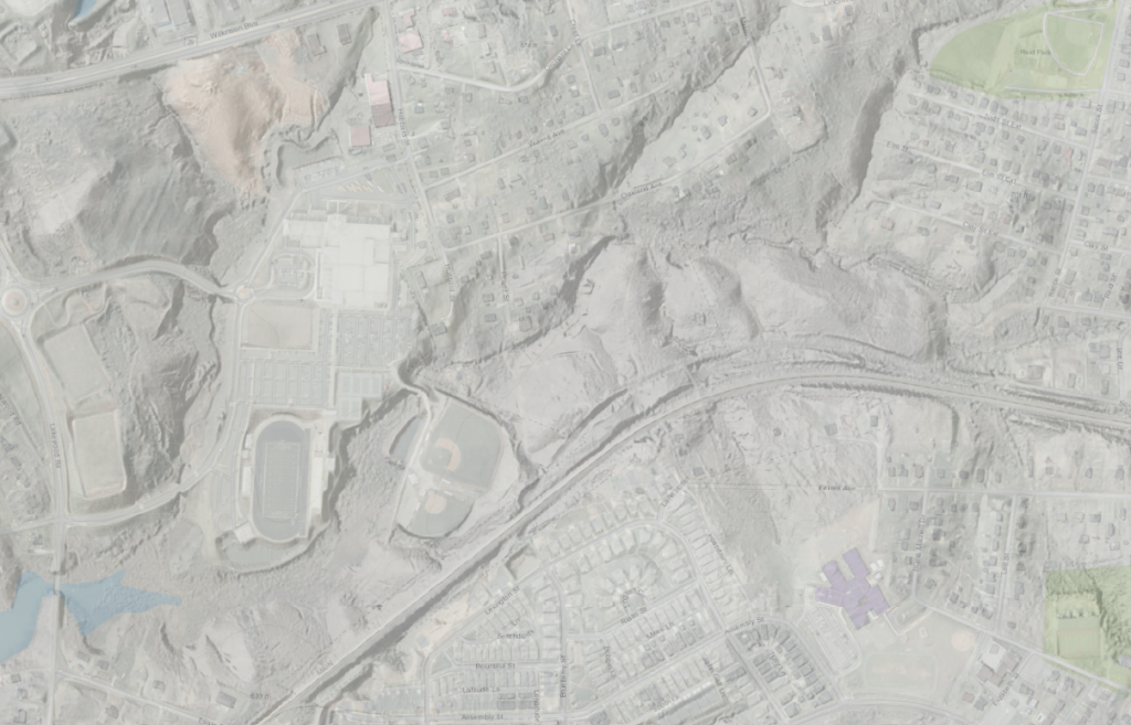
The base maps are also used for some variations, like maintenance zones or emergency tags.
You must be logged in to post a comment.